Hydrologic
Advertisement
GetRealtime v.2.0
GetRealtime automates downloading free real-time hydrologic and meteorological data at scheduled intervals for display. Supports USGS, Wunderground, USBR, USCS Snotel, CDEC, CIMIS, and NOAA WSR-88D Radar.
Advertisement
HEC-GeoHMS v.5.0.0.72
The Geospatial Hydrologic Modeling Extension (HEC-GeoHMS) has been developed as a geospatial hydrology toolkit for engineers and hydrologists with limited GIS experience.
NetpathXL v.1. 3. 4808
NETPATH is an interactive Fortran 77 computer program used to interpret net geochemical mass-balance reactions between an initial and final water along a hydrologic flow path.
GSSHA v.1.4.5.7
Gridded Surface Subsurface Hydrologic Analysis (GSSHA) is a grid-based two-dimensional hydrologic model.

River Forecast v.1.0.0.0
Based on river gauge data from NOAA and the Advanced Hydrologic Prediction Service (US only), this app provides river stage data, river forecasts, high and low river level records,
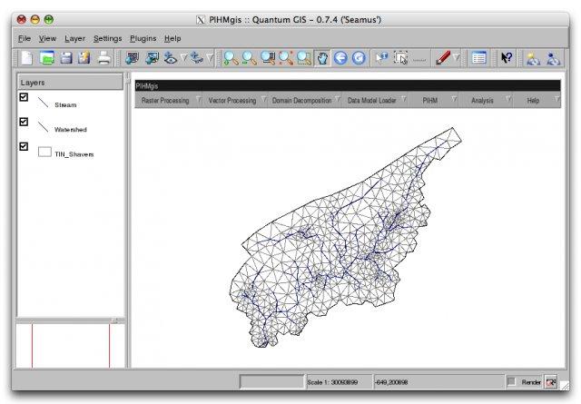
PIHMgis v.rc
PIHMgis is a tightly-coupled GIS interface to Penn State Integrated Hydrologic Model (PIHM).
WinChips v.4 7
Chips, the Copenhagen Image Processing System, is a general-purpose software package for remote sensing image processing and spatial data analysis with extensive support for NOAA AVHRR data.
MODSIM Beta v.1.0
MODSIM Beta is a software tool designed for highly complex and constantly evolving river basin management environment. MODSIM Beta helps analyze and predict water presure in river basins, managing information.
KModSim v.1.0
MODSIM is a generalized river basin Decision Support System and network flow model developed at Colorado State University designed specifically to meet the growing demands and pressures on river basin managers today.
HEC-RPT v.1 1
The Regime Prescription Tool (HEC-RPT) is designed to facilitate entry, viewing, and documentation of flow recommendations in real-time, public settings.
GetNexrad v.3. 1. 2001
GetNexrad is a tool used to view NOAA WSR-88D Nexrad doppler radar images and compute point and area average rainfall and to generate the basin point file used by GetRealtime application for automating computation of a basin average rainfall time ser