Hydrologic
Advertisement
NetpathXL v.1. 3. 4808
NETPATH is an interactive Fortran 77 computer program used to interpret net geochemical mass-balance reactions between an initial and final water along a hydrologic flow path.
Advertisement
GSSHA v.1.4.5.7
Gridded Surface Subsurface Hydrologic Analysis (GSSHA) is a grid-based two-dimensional hydrologic model.
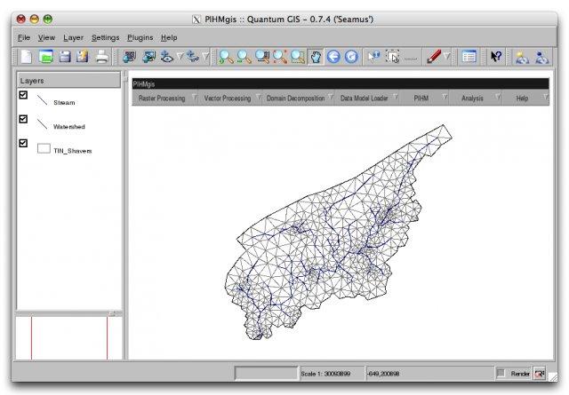
PIHMgis v.rc
PIHMgis is a tightly-coupled GIS interface to Penn State Integrated Hydrologic Model (PIHM).
WinChips v.4 7
Chips, the Copenhagen Image Processing System, is a general-purpose software package for remote sensing image processing and spatial data analysis with extensive support for NOAA AVHRR data.
MODSIM Beta v.1.0
MODSIM Beta is a software tool designed for highly complex and constantly evolving river basin management environment. MODSIM Beta helps analyze and predict water presure in river basins, managing information.
KModSim v.1.0
MODSIM is a generalized river basin Decision Support System and network flow model developed at Colorado State University designed specifically to meet the growing demands and pressures on river basin managers today.
HEC-RPT v.1 1
The Regime Prescription Tool (HEC-RPT) is designed to facilitate entry, viewing, and documentation of flow recommendations in real-time, public settings.
GetNexrad v.3. 1. 2001
GetNexrad is a tool used to view NOAA WSR-88D Nexrad doppler radar images and compute point and area average rainfall and to generate the basin point file used by GetRealtime application for automating computation of a basin average rainfall time ser
Quantum GIS v.1.8.0
Cross-platform and user friendly Open Source Geographic Information System (GIS). Quantum GIS (QGIS) is a user friendly Open Source Geographic Information System (GIS) that runs on Linux, Unix, Mac OSX, and Windows. QGIS supports vector, raster,